This is Hamamoto from TIMEWELL Inc.
A Piece of History Surfaces After 83 Years
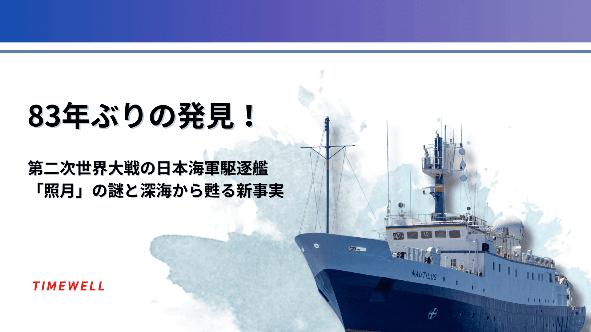
In the waters of Iron Bottom Sound — named for the sheer volume of warships and aircraft that sank there during the Pacific War — Ocean Exploration Trust's research vessel EV Nautilus has done something that wasn't possible before. Using its autonomous underwater mapping drone Dris, the team located and documented the wreck of the Imperial Japanese Navy destroyer Teruzuki (照月) for the first time since it sank in December 1942.
83 years on the seafloor. One expedition. New evidence that overturns the established account of how the ship was lost.
The Technology That Made It Possible
The key instrument is Dris — a 25-foot autonomous unmanned surface vessel operated remotely, capable of mapping the seafloor at depths up to 3,000 meters, with optimal performance in the 500-1,000 meter range. That's exactly the depth range where Teruzuki rests, roughly 800 meters down.
Dris doesn't require a crew aboard. Remote operators monitor a continuous stream from multiple cameras and sensors in real time, constructing high-resolution sonar maps of the seabed from the surface. The vehicle can be directed to survey defined areas while the team analyzes what's coming in.
The workflow for this discovery:
- Survey known wrecks with Dris to optimize detection algorithms — calibrating the system on confirmed targets before searching for unknown ones
- Scan for anomalous signatures in the sonar data
- Deploy ROVs to visually confirm and document candidates
- Cross-reference structural features against archival records for identification
Operational hazards included fishing nets and underwater cables — materials that can fatally entangle an ROV. The team maintained a minimum 50-meter clearance above the seafloor during surveys to reduce that risk.
Looking for AI training and consulting?
Learn about WARP training programs and consulting services in our materials.
Identifying Teruzuki: Sonar to Historical Records
The initial sonar returns showed a wreck — but national identity and specific vessel were unknown. The identification process proceeded through structural analysis:
- Bow profile shape
- Anchor attachment configuration
- Turret arrangement
- Torpedo tube count and placement
- Overall hull proportions
The team initially considered both Japanese and American possibilities before the characteristics pointed consistently toward a Japanese destroyer. At that point, comparison with available records — U.S. Naval Intelligence drawings, surviving Japanese documentation, and comparison with the sister ship Akizuki (秋月) — narrowed the identification to Teruzuki.
The historical record for Teruzuki was thin by design. Imperial Japanese Navy doctrine during the war maintained strict secrecy around vessel specifications, internal layouts, weapons loadouts, and tactical deployments. What photographs and records existed were fragmentary. The wreck footage filled gaps that the documentary record couldn't close.
The Finding That Changed the History
The established narrative held that Teruzuki was lost due to the detonation of her own depth charges — a catastrophic own-weapon accident during the naval engagement.
The EV Nautilus footage contradicts this directly.
The depth charges are visible in the wreck footage, still mounted along the hull — intact, unfired, in situ. If the depth charges had detonated and caused the sinking, they would not look like this.
The revised assessment: Teruzuki was sunk by U.S. torpedo attack. The depth charges on deck are among the most significant pieces of evidence, and they tell a story opposite to what had been assumed for eight decades.
The unexploded depth charges also present an ongoing hazard. After 83 years of seawater exposure, the stability of any remaining ordnance cannot be assumed. All close-range documentation work was conducted with remotely-operated systems at safe standoff distances. Physical contact with the wreck was not attempted.
Teruzuki Now: A Living Historical Site
Beyond the historical revision, the footage captures something else — the wreck as an active ecosystem. Crabs, small fish, and other marine life have colonized the gun turrets, deck structures, and hull crevices. The ship designed as a weapons platform has become a reef.
This juxtaposition is a consistent feature of deep-sea Pacific war wrecks: the precision engineering of 1940s naval construction now hosts communities of organisms that have adapted to the structure's geometry over decades. Corrosion has removed paint; sea growth has covered surfaces; but the underlying form — the anchor housings, the turret bases, the torpedo mount positions — remains legible.
What This Means for Deep-Sea Archaeology
The Teruzuki expedition is a demonstration of what the current generation of technology can do for maritime archaeological work:
Autonomous surface drones extend survey range without proportional increases in cost or crew requirement. Dris can survey while the main vessel is otherwise occupied.
Machine learning integration is the next step. The team has begun developing algorithms to automatically identify candidate targets from sonar data — applying pattern recognition to the detection problem rather than relying solely on human interpretation of sonar returns. This would dramatically accelerate the search phase of future expeditions.
Digital photogrammetry can produce accurate 3D reconstructions from ROV footage. For vessels like Teruzuki — where surviving drawings are incomplete and photographs from the war era were tightly controlled — a photogrammetric model derived from the wreck may represent the most accurate structural documentation of this class that exists.
Iron Bottom Sound still holds the wrecks of dozens of vessels from the Guadalcanal campaign — American and Japanese, surface ships and aircraft. The Teruzuki discovery is one data point in a much larger ongoing survey.
Summary
- The Japanese destroyer Teruzuki, lost in December 1942, was located and documented by the EV Nautilus expedition at approximately 800 meters depth in Iron Bottom Sound
- The autonomous surface drone Dris enabled detailed sonar mapping that identified the wreck
- Footage overturns the longstanding theory that Teruzuki was lost to its own depth charges — the charges are visible and intact on the hull, indicating the actual cause was U.S. torpedo attack
- The wreck hosts an active marine ecosystem; unexploded ordnance remains present and potentially hazardous
- The expedition demonstrates the capabilities of current-generation autonomous systems for maritime archaeological work
- Machine learning-assisted target identification is being developed for future surveys
Reference: https://www.youtube.com/watch?v=Z-VWEpTlk3g